 ™
Mountain Passes Roadbook
The passes of the Dolomites and the Romanian Carpathians corner by corner: both sides, riding up and down, so you know the road before you ride it.
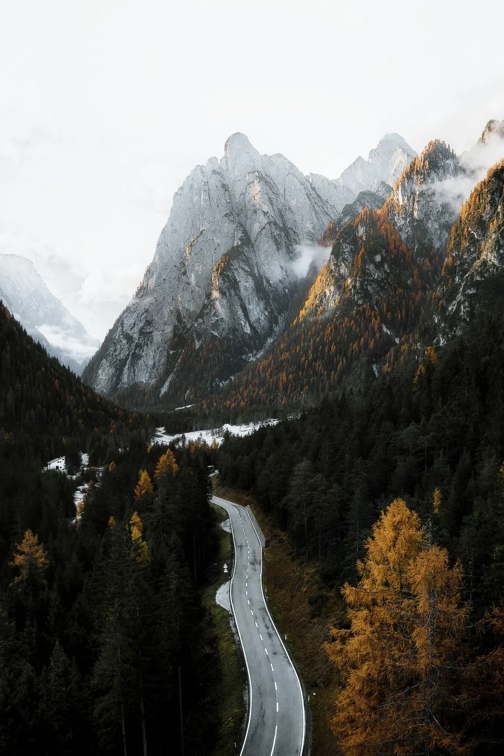
Dolomites
Passo Giau
2,236 m · SP638- North · from Pocol (Cortina d'Ampezzo): 10.2 km · +704 m · 17 hairpins
- South · from Selva di Cadore: 9.7 km · +921 m · 24 hairpins
Passo Falzarego
2,105 m · SR48- East · from Cortina d'Ampezzo: 16.3 km · +899 m · 14 hairpins
- West · from Andraz (Salesei): 10.8 km · +671 m · 16 hairpins
Passo Valparola
2,192 m · SP24- North · from La Villa: 14.1 km · +791 m · 9 hairpins
- South · from Passo Falzarego: 1.2 km · +89 m · 0 hairpins
Passo Pordoi
2,239 m · SS48- West · from Canazei: 12.1 km · +790 m · 24 hairpins
- East · from Arabba: 9.2 km · +639 m · 24 hairpins
Passo Sella
2,244 m · SS242- South · from Canazei: 11.2 km · +795 m · 21 hairpins
- North · from Plan de Gralba: 5.3 km · +370 m · 1 hairpins
Passo Gardena
2,121 m · SS243- West · from Plan de Gralba: 5.8 km · +248 m · 6 hairpins
- East · from Corvara: 9.3 km · +598 m · 15 hairpins
Passo Campolongo
1,875 m · SR244- North · from Corvara: 5.8 km · +344 m · 7 hairpins
- South · from Arabba: 4.0 km · +278 m · 5 hairpins
Passo Fedaia
2,057 m · SS641- West · from Canazei: 11.4 km · +617 m · 6 hairpins
- East · from Caprile: 15.2 km · +1012 m · 10 hairpins
Passo San Pellegrino
1,918 m · SS346- West · from Moena: 10.7 km · +681 m · 1 hairpins
- East · from Cencenighe Agordino: 18.6 km · +1156 m · 17 hairpins
Passo Rolle
1,984 m · SS50- West · from Predazzo: 20.7 km · +957 m · 11 hairpins
- South · from Fiera di Primiero: 22.0 km · +1261 m · 20 hairpins
Passo Valles
2,031 m · SP81- West · from Paneveggio: 6.9 km · +475 m · 2 hairpins
- East · from Falcade (Le Fratte): 7.1 km · +619 m · 3 hairpins
Passo delle Erbe
1,987 m · SP29- East · from San Martin de Tor: 14.4 km · +1027 m · 12 hairpins
- West · from Bressanone / Brixen (Milland): 29.4 km · +1622 m · 15 hairpins
Passo Tre Croci
1,805 m · SR48- West · from Cortina d'Ampezzo: 8.4 km · +598 m · 4 hairpins
- East · from Auronzo di Cadore: 22.1 km · +909 m · 7 hairpins
Passo Costalunga
1,752 m · SS241- East · from Vigo di Fassa: 8.9 km · +396 m · 1 hairpins
- West · from Ponte Nova / Birchabruck: 13.9 km · +882 m · 4 hairpins
Passo Duran
1,601 m · SP347- West · from Agordo: 12.9 km · +988 m · 2 hairpins
- East · from Dont: 8.2 km · +661 m · 4 hairpins
Passo Staulanza
1,766 m · SP251- North · from Selva di Cadore: 10.3 km · +529 m · 6 hairpins
- South · from Dont: 12.4 km · +836 m · 13 hairpins
Romania · Carpathians
Transfăgărășan
2,042 m · DN7C- North · from Cârțișoara: 29.7 km · +1517 m · 22 hairpins
- South · from Lacul Vidraru (north end): 25.8 km · +1144 m · 12 hairpins
Transalpina
2,145 m · DN67C- North · from Obârșia Lotrului (DN7A): 20.2 km · +958 m · 18 hairpins
- South · from Novaci: 27.2 km · +1717 m · 13 hairpins
Transrarău
1,450 m · DJ175B- North · from Pojorâta (DN17): 15.2 km · +761 m · 14 hairpins
- South · from Chiril (DN17B): 11.2 km · +729 m · 2 hairpins
Pasul Prislop
1,416 m · DN18- West · from Borșa: 23.3 km · +751 m · 4 hairpins
- East · from Șesuri: 11.7 km · +333 m · 2 hairpins
Pasul Tihuța
1,201 m · DN17- West · from Tiha Bârgăului: 28.1 km · +680 m · 0 hairpins
- East · from Poiana Stampei: 12.6 km · +295 m · 0 hairpins
Riding these passes?
We follow your ride live, tell you about closures and weather on the road ahead, and talk to you in your helmet, as far as mobile coverage allows.
Road shape: © OpenStreetMap contributors (ODbL). Heights, relief and contour lines produced using Copernicus WorldDEM-30 © DLR e.V. 2010-2014 and © Airbus Defence and Space GmbH 2014-2018 provided under COPERNICUS by the European Union and ESA; all rights reserved. The organisations in charge of the Copernicus programme by law or by delegation do not incur any liability for any use of the Copernicus WorldDEM-30. Corners, tightness, gradients and shade: our own analysis of these data.