 ™
The idea in one minute
A motorcycle trip through places you don't know is the best thing there is, and also the loneliest when something goes wrong. A storm you didn't see on the forecast. A pass closed for a landslide. A fuel station that was supposed to be open. A fall on gravel with nobody behind you.
Live Ride Control puts a trained person in your helmet during your booked riding days. The operator follows you live on a map, with everything that matters to your day on top of it. When something matters, you hear a calm voice in your intercom (Sena, Cardo or other) telling you what it is and suggesting what you could do, usually before you reach it. You decide. When nothing matters, you hear nothing. You just ride.
It's the difference between riding alone and riding with a very well-informed friend sitting behind you who stays focused, speaks your language if it is one of our seven, and has the numbers you usually need to hand.
Who is on the radio
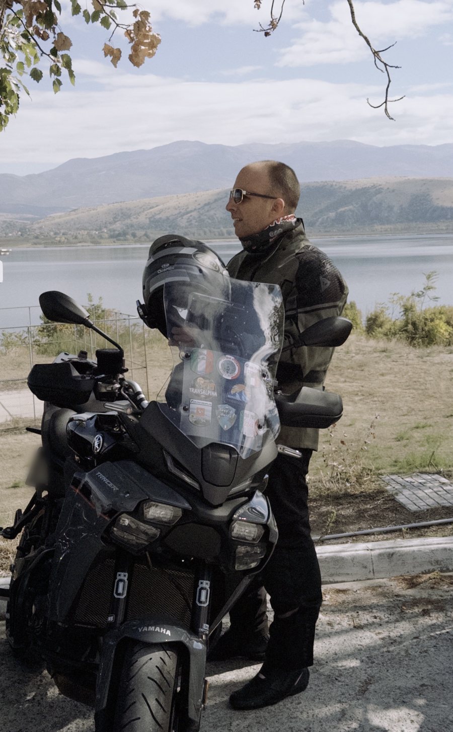
Live Ride Control was started by Christos, a touring rider, for touring riders. He has ridden across Europe for years - the Balkans he knows road by road after eleven years living in Serbia, the Alps, the Dolomites and the Pyrenees, the long way round through countries where the signs change alphabet twice in a day - and he still does, on a 2025 Yamaha Tracer 9. The service is not an idea from an office. It's the list of things he wished someone had told him in the helmet: the station that was shut, the pass that was closed, the rain that arrived twenty minutes before the forecast said, the border where the queue was on the other crossing.
That matters in two practical ways. First, the plan you get is built by someone who knows what a 400-km day in the mountains does to a rider and a tank, not by someone reading a map. Second, when the voice in your helmet suggests "stop here, you'll want to," it's because he would. Every operator on our radio rides, and is trained by a rider.
Before the ride
Most of what makes a ride go well happens before the engine starts. When you book, we do three things.
We learn how you ride
The Plan my ride questionnaire asks the things that matter: twisty or fast, highways or never, what you want to see, how many kilometres a day feel good, whether you're fine with rain, night riding and high passes, and your bike's tank size and consumption. For groups we ask about every rider, because the slowest tank and the least experienced rider set the plan.
We build the ride brief
A day-by-day plan: the route, the passes and viewpoints that match your interests, where you'll eat, where you'll fuel (spaced to your estimated range with a reserve), the weather window for each day, border crossings with expected waits and the paperwork each country wants, and for every day the nearest motorcycle mechanic, tyre shop and tow service with phone numbers and opening hours. You get it as a document and as GPX files that load straight into a Garmin, a Carpuride or a phone app. You can change anything; it's your ride.
We set you up
A 15-minute call. We connect your own GPS tracker remotely and set up the phone app as its backup, pair the voice channel through your intercom (Sena, Cardo or other), note your emergency contact and the name you want us to call you, and do a test call so you know exactly what our voice sounds like in the helmet. From then on, during your booked riding days the operator sees you on the map wherever your tracker or phone has a connection.
During the ride: what the operator sees
From the moment you start riding, your operator has one screen with everything on it:
- Your position, updated every few seconds, with speed, heading, altitude and the trail behind you.
- Weather radar over the map, and a forecast for your live GPS position and the road ahead: when the rain starts, how hard, the temperature on the pass, the wind on the exposed sections.
- Traffic and incidents on your route: crashes, closures, roadworks, slow traffic, and hazards reported by other riders we're following - gravel on a hairpin, a diesel spill, an accident.
- Fuel: how far since your last fill-up, how far you can still go by our estimate, and the next stations with their opening hours.
- Your condition: hours in the saddle today, time since your last proper stop, heat and altitude. Not to judge you - to know when to ask.
- The plan: today's stops, the hotel, the border, and the time you wanted to arrive.
The operator reads all of it and speaks only when it helps.
The control room, and why it matters
Every piece of our service runs through one place: the Live Ride Control room in Thessaloniki, with the whole picture in front of an operator who watches you remotely throughout your riding day - one operator follows up to ten riders at a time. That's the reason the service works.
Your navigator sees the road. We see everything around it.
A Garmin knows where the road goes. A weather app knows the forecast for a town. A traffic app knows about a jam. None of them know your fuel, your hours in the saddle, your group, your hotel, or the border ahead - and none of them will notice that you stopped and didn't move. The control room puts all of it on one map, live, with a person reading it. That's what makes "rain in nine minutes at the top, refuge in two kilometres" possible. No app says that sentence.
The advantage of someone watching during your riding days
- We often notice first. A rider who crashes alone on a pass can lie there for an hour before the next car. When a hard stop reaches us, we try to reach you as soon as we can and, if needed, alert the local emergency number with your last known position.
- We see ahead of you. You see the next corner. We see the rain cell twenty kilometres out, the closure after the next village, the station that shuts at seven. Information usually reaches you while there's still time to use it.
- Your head stays on the ride. You check the weather, the fuel and the border far less often. You ride the road in front of you. That alone makes the trip better.
- One call does the work of ten. Tow service, mechanic, hotel, border information, your family - we have the numbers you usually need and, at your request, make the calls - in the local language when it is one of ours, otherwise in English - while you deal with the bike. Mid-breakdown, you don't want to be searching for a tow in a language you don't read.
- A human reads what data can't. Data says "stopped four minutes". A person knows that's a photo at a viewpoint, or that it isn't, because they know you, your day, and the place. We check in instead of alarming you, and we escalate instead of assuming.
- Two people share the problem. Decisions on the road - push on or stop, ride the pass in the dark or sleep in the valley - are easier with a calm voice that has the full picture. You still decide. You don't decide alone.
- More than one source. Phone dies, navigator freezes, you lose signal on the pass: the control room keeps your last known position, your heading and your plan, and a person tries to solve the problem from the other side until you're back.
What the room looks like
Dark room, big map, headset on. One operator follows up to ten riders at a time - a tour group of up to ten has its operator to itself - and speaks the riders' language when it is one of our seven. Weather radar and traffic incidents on the wall, each rider's card on the desk with the suggested next call. A second operator steps in when a group has more than ten bikes and, when possible, when a situation needs two pairs of hands - one stays with the rider, one works the phones.
Every call, message and step is noted with the time (calls are not recorded), so that, at your request, events can be reconstructed to the minute.
Every scenario, one by one
These are the situations we plan for. For each: what we see, what we do, what you hear.
Rain, storm or fog ahead
What we see
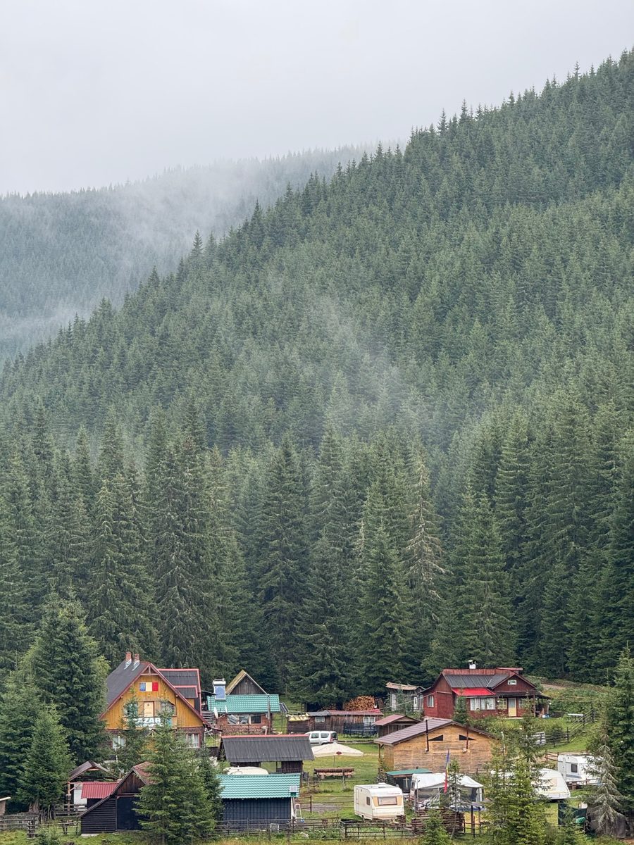
A rain cell on radar moving onto your route; the forecast for the pass shows rain in nine minutes and 7 °C at the top. There's a refuge with a roof two kilometres ahead.
What we do
We tell you before you're in it, with a place to stop and suit up if you want to. If a storm is serious - lightning, hail, flooding - we propose waiting it out and tell you how long. If the weather closes a pass, we suggest another route and, if you ask, tell the hotel you'll be late.
You crash, or you fall
What we see
A hard stop: your speed drops from 70 to zero in a couple of seconds, then no movement. Your tracker or phone may also send an impact alarm.
What we do
As soon as the alert reaches us, the operator tries you on the intercom, then on your phone. If there is still no answer, we try your emergency contact and, if needed, alert the local emergency number (112 in the EU) with your last known coordinates, bike, last speed and time. We remain available to the rescue services and, where we can, keep the family or emergency contact you gave us informed. We note every step with the time. Detection and contact depend on your tracker, phone and network coverage: an event can be missed or misread, and the response is only as fast as the connection allows. If you can, call the local emergency number yourself first (112 in Europe; before the trip we send you the numbers for every country on your route) - we are a support channel, not a replacement for it.
Most hard stops are a photo, a coffee, or a wrong turn. We'd rather ask forty times and be right once. If you don't answer, we don't stop at one call: we follow the escalation steps.
Running low, and the next station is closed
What we see
You've done 214 km since the last fill-up. With your tank and the consumption we're seeing on this climb, you have about 70 km left. The next station is 18 km ahead and open; the one after that closes at 19:00; then there's nothing for 85 km.
What we do
We tell you which station, before it becomes a problem. On Sundays and in the mountains we check opening hours and whether they take cards. If you're already past the point of no return, we look for the nearest fuel in any direction and, if needed, a person who can bring you a jerry can.
Crash ahead, closed pass, roadworks, landslide
What we see
A closure on the SP638 after Pocol; traffic data shows a crash. Alternatively: a pass still closed for snow in June, a one-way traffic light with a 15-minute cycle, or gravel on hairpin 11 reported by a rider we were following an hour ago.
What we do
We suggest a new route before the junction, on roads that match how you like to ride, and tell you what the detour costs in minutes. For hazards you can ride through, we tell you where exactly and what to expect - which hairpin, which side of the road.
Breakdown or flat tyre
What we see
You stop and tell us, or you stop for long enough that we ask.
What we do
We call the mechanic, tyre shop or tow already listed in your brief, in the local language when it is one of ours, otherwise in English, and we tell you who's coming and when. If the bike can't continue, at your request we call your hotel to change the booking, look for transport for you and the bike, and rebuild the rest of the trip around it (you pay the providers directly).
Borders, tolls, vignettes, paperwork
What we see
Which crossing you're heading for, the live wait there, and what the country on the other side wants: vignette, green card, toll card, cash.
What we do
Your brief lists what each country on your route needs, so you can sort it before you leave. On the day we suggest the quieter crossing and remind you what to have in your hand. Balkan borders are where we're strongest: we've crossed them more times than we can count. Where the language is one of ours (Greek, Serbian, Croatian, Bosnian, Russian, German) we speak it, otherwise English.
Fatigue, heat, cold, hydration
What we see
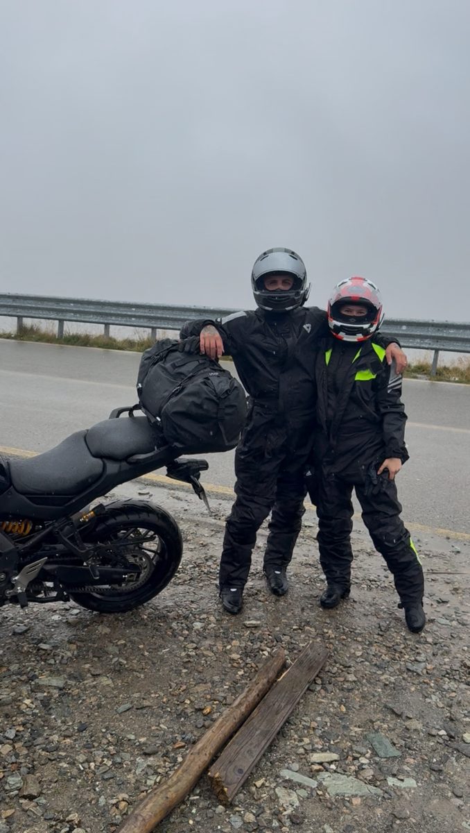
Four hours in the saddle, last real stop an hour and forty ago, 31 °C in full gear, or 4 °C at altitude with wind. Corners getting wider and slower than an hour ago.
What we do
We don't tell you you're tired. We ask how you feel and we put a good reason to stop in front of you: a viewpoint, a café, shade, a petrol station with cold water. In heat we remind you to drink every 45 minutes. In cold we tell you where the sun is on the road.
Wrong turn, lost, navigator dead
What we see
You left the route, or you stopped at a junction for a while, or your tracker stopped sending its position.
What we do
We suggest by voice how to get back on the plan or to the hotel; you decide. If your navigator dies, we keep suggesting by voice; you decide.
Running late, night riding
What we see
Your ETA passes sunset. The pass has no lighting, there's wildlife, and the temperature is dropping fast.
What we do
Early in the afternoon we tell you honestly whether you'll make it in daylight and offer the choice: shorten the day, or ride the last section in the dark with us on the line. If you stop early, we suggest a hotel and, if you ask, call it for you to ask about a room.
The people who worry about you
What we see
Everything above.
What we do
We give you a private link to send to one or two people. It shows your position, whether you're moving or stopped, and your estimated arrival time - nothing else, no speed. We switch it off at your request at any time. If something serious happens, we try to reach your emergency contact by phone ourselves, so they don't learn it from a silent map.
Riding in a group
Groups get everything above for every rider, plus the things that only go wrong in groups:
- Spread. We watch the distance between the first and last bike. When it gets too long, the lead hears it, usually before anyone gets lost.
- Regroup points. Agreed before the day. If someone's missing, everyone knows where to wait and we know where they were last seen on the map.
- The slowest tank. Fuel stops are planned for the bike with the smallest range, not the biggest.
- Personal or shared channel. Up to ten riders, each on a personal channel or on one shared tour channel; the operator can speak to one rider or to everyone. A rider who wants to go slower can say so to us, not to the group.
- The guide leads, we watch the group. On a tour your guide rides at the front and leads. We watch every bike in the group and tell the guide only what matters.
After the ride
You get a report: the whole trip on a map, every day's distance and riding time, the passes you did, your stops, and your photos pinned where you took them. It's yours to keep and share, and we keep it until you ask us to delete it.
Equipment you need
- A GPS tracker on the bike - your own: one of the two we recommend (wired or portable, details; wired on a rental bike only with the rental company's permission) or a compatible one you already have. You buy it yourself, from a seller of your choice and in your own name (we don't sell or lend trackers); it stays yours; we set it up remotely. Your phone runs our app as backup. The step-by-step guide comes once the trip is fully paid.
- An intercom (Sena, Cardo or other - any Bluetooth headset) paired to your phone. That's the voice.
- Mobile data on your phone for every country on your route (flying in: a European eSIM). Before you go we point out the areas known for weak signal.
- Charging. A USB outlet on the bike for the phone (with the portable tracker: a second socket or a double adapter). Ten hours of GPS is more than a phone battery.
- Long stretches without signal are planned in advance - known dead zones and regroup points.
How the two links fit together - bike-to-bike intercom versus the phone link to us, call mode versus an open group channel, and what happens without signal - is explained with a diagram on the For riders page.
What we are not
We are not an emergency service, and we don't replace insurance, breakdown cover or your own judgment. We give you information and suggestions by voice; you decide. We often notice first; we try to reach you and, if needed, alert the local emergency number with your last known position; we remain available to the rescuers. We won't tell you you're fit to ride; we'll ask how you feel. We won't push a pace or a route on you; it's your ride and your decision, every time.
Privacy
We look at your position only during a ride you've booked; we switch your tracker's sending off at the end of your trip, and any positions that still reach us are not looked at and are deleted after 30 days. We don't ask for or record health data - except what you tell us in an emergency, which we note and pass on only to protect your vital interests. We never sell your data. We share it when needed to help you - for example with emergency services or a hotel we call for you - with the tour operator who registered you if you ride on a tour, and with service providers working for us, as the full policy explains. Positions, logs and fuel records are deleted 30 days after the trip, unless needed for a concrete legal claim; your post-ride report and photos are kept until you ask us to delete them. The full policy is here.
Ready to ride somewhere new?
Tell us where. We'll tell you what it costs to have someone on the line.